Policy relevance of System Dynamics models
Whilst the three models differ in problem scope, they are linked to the project’s main objective by the impact of developing each activity on the water quality and were designed as strategic policy tools with a long-time horizon of decades to address the sustainable development of the Danube Delta which is a dual challenge - to protect its unique natural and cultural assets and meeting the aspirations of the inhabitants to improve their living conditions and seek better economic opportunities.
The Danube Delta represents both the largest remaining natural wetland and the second largest river delta in Europe, being one of Europe's most valuable habitats for wetland wildlife with 16 strictly protected areas. Unfortunately, according to our stakeholders, the governance and excessive bureaucracy are disturbing the economic activity and social areas avoiding real problems like the conflict between Marine Protected Areas (and restrictive measures) and the exploitation of resources or the Danube Delta’s clogged canals and invasive species. Agriculture has clear impacts on both inland and coastal water quality. The locals are not aware of the causes, effects, and impacts of the pollution on the Black Sea and the surrounding neighborhood. Agriculture is for subsistence, and the area is very poorly developed. On the contrary, due to the Danube Delta protected area, there is an increased pressure downward in the coastal zone for seasonal tourism (only three-four months/year). Thus, an artificial population “growth” is not sustained by “real” economic development.
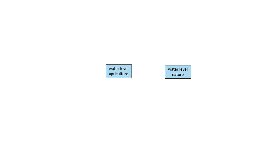
Each activity has its national strategy to which the Danube Delta development strategy is added. The integration of the impacts that the development of the activity has can be achieved through the COASTAL model. Consequently, in the context of COASTAL, researchers, actors and stakeholders detected the need to develop a systemic planning tool to support the integrated sectoral development with science-based management decisions. The aquaculture model operates with two stock variables (normal fish farming area and intensive farming fish area) and designs the impact that increasing productivity in the fish farm sector has on water quality to examine the impact of intensifying aquaculture by increasing productivity and allocated areas on water quality. The agriculture model considers the increasing farmers’ welfare through their cooperation, particularly sharing their assets and integrated production. It ensures sustainable agriculture by adjusting agricultural practices and using alternatives over time, considering new knowledge and methods. The pollution from agriculture is decreased by the implementation of a bio-economy which is meant to reduce the dependence on natural resources, transform manufacturing, promote sustainable production of renewable resources from land, fisheries and aquaculture and their conversion into food, feed, fiber, bio-based products and bio-energy while growing new jobs and industries. In the agriculture model, we can observe how the evolution of conversion rate (set depending on the Farm to fork strategy), from traditional farms to organic farms, affects the water quality. The model for agriculture is designed for specific field crops, but it can be also adapted to other crops, depending on the needs of the beneficiary.

The tourism model considers that the increase in tourism causes the main consequence of increased pollution, which leads to biodiversity loss. Once the biodiversity has degraded, the area is no more a touristic attraction. This model operates with two stock variables: traditional farms and ecofarms. The tourism model starts from the premise that economic activity can be developed. Still, until to a certain point, because once the area is damaged, the attractiveness of the area decreases progressively, and the income as well. This model focused on one stock variable, the number of tourists, which influenced tourism development but also the tourism decline.
The integrated model was designed to examine the cumulative impacts of individual sectoral development in different socio-economic and climate change scenarios and environment management interventions. Consequently, the model results and scenarios run will be presented as an innovative tool to the national and local authorities on ICZM Strategy. They will be the basis of the Design and setup Training Courses for the Operational Program Administrative Capacity POCA/399/1/1: Improving the capacity of the central public authority (Ministry of Environment & Waters) in the field of Integrated Coastal Zone Management (ICZM).
Thus, one of the main added values of the tool is that it covers a science-policy niche and can help the debate on the long-term impacts of integrated sectoral activities development and give support for decisions making process in various national and international environments, such as ministerial thematic groups, European initiatives, and strategic plans design.
Download the model here
]]>